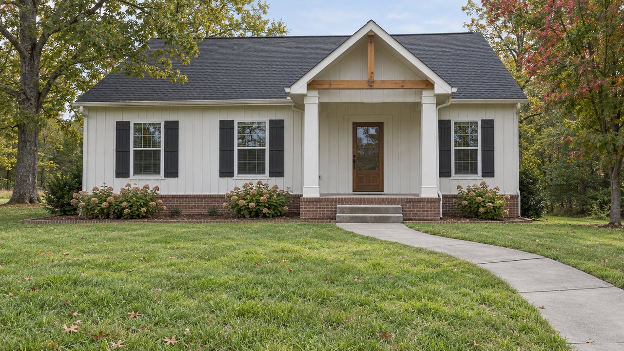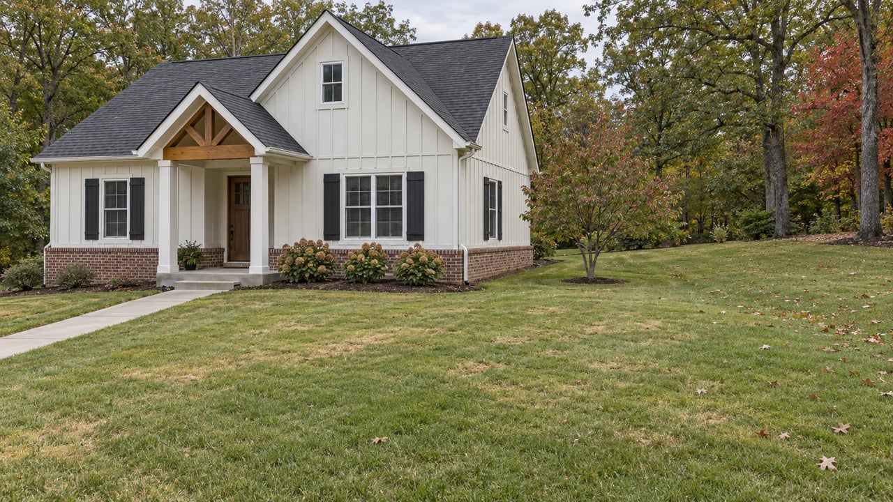
When you buy a house in northeast Winston-Salem, the open land behind it is worth checking as carefully as the house. Since the I-74 Northern Beltway's eastern section opened in September, that land has been easier to reach than ever. The city-county planning draft written for this area says its future depends mostly on which way the rain drains off it, and much less on how close it sits to a new exit.
The planners' reasoning runs like this. A ridge roughly follows Old Hollow Road, which is NC 66. Land south of the ridge drains toward the city-county sewer system. Land north of it drains the other way and would need septic. In the draft, density follows the sewer. So in this part of Forsyth County, a buyer comparing two homes a few miles apart may be looking at two very different futures next door.
The Road Arrived Two Months Early
NCDOT opened the last new links of the eastern loop early on Saturday, Sept. 19, 2026, two months ahead of schedule. According to the NCDOT announcement, the two final segments cover about 3 miles and cost $387 million. They include a multilevel interchange at I-40 and a diverging diamond interchange at Kernersville Road. With them open, the I-74 corridor now runs all the way through Forsyth County to US 52 north of the city.
The Winston-Salem Journal covered the Aug. 28 ribbon-cutting. It noted that the $1.74 billion beltway was first imagined nearly 40 years ago as one of several ring roads around the state's larger cities. The other half of the loop is a long way off. NCDOT's project page schedules right-of-way purchases for one Western Loop section in 2028 and construction in 2030. Other western sections are still unfunded.
For northeast Forsyth, then, the road is finished. What gets built near it is still being decided.
The Ridge That Runs Along Old Hollow Road
City-county planners made the Northeast Suburban Area Plan a priority because of the beltway. The draft covers about 33 square miles, from north of Smith Reynolds Airport toward the Stokes County line. Its western edge follows University Parkway, Stanleyville Road and Red Bank Road, and it reaches east to US 311 and Dennis Road. The Town of Walkertown is not part of it.
The draft names the Germanton Road and Baux Mountain Road interchanges as the places where new development now makes sense, in a part of the county that has seen little change in recent years. In the same passage, it says limited sewer service will hold that development potential back.
The draft plan explains why. Sewer lines depend mostly on gravity to carry wastewater to treatment plants. A ridge that generally follows NC 66 splits the plan area into two drainage basins. Land south of NC 66 drains naturally into the Winston-Salem/Forsyth County Utilities service area. Land north of it drains north and can't be served without expensive upgrades to public or private sewer lines.
| South of the NC 66 ridge | North of the NC 66 ridge | |
|---|---|---|
| Wastewater | Drains toward the city-county utility system | Relies on septic systems |
| Draft land-use direction | Where future growth is concentrated | Generally low intensity and low density |
| Typical pattern named in the draft | Denser residential and commercial, clustered in Growth Management Area 2 | Agriculture and large-lot residential, mostly Growth Management Area 5 |
| What could change it | A Forsyth County decision to extend sewer, which the draft says would trigger a rethink |
The draft states the goal directly. High-intensity development should stay out of the rural northern part of the plan area, and future growth should go where sewer and other infrastructure already exist, which is mostly south of NC 74.
The ridge is not permanent policy, though. The draft says that if the county extends sewer north, the development potential of that land goes up and the recommendations would need to be revisited. A buyer who wants a rural setting north of NC 66 is relying on a utility decision that nobody has made yet.
What the Draft Plans at Each Interchange
The two interchanges show how the ridge plays out. The draft identifies seven mixed-use areas in the plan area, and four of them sit near the Germanton Road and Baux Mountain Road interchanges. Here is what the draft proposes, corner by corner:
- Germanton Road and NC 74, northwest corner: intermediate-density housing to the north and west, with manufacturing, industrial and low-intensity commercial uses toward Germanton Road. The draft notes sewer limits here.
- Germanton Road and NC 74, northeast corner: intermediate-density housing, with low-intensity commercial uses facing Germanton Road. Sewer limits apply here too.
- Germanton Road and NC 74, southeast corner: high-intensity commercial uses along Germanton Road and Old Hollow Road, stepping down to low-intensity commercial and then intermediate-density housing farther east.
- Baux Mountain Road and NC 74, northeast corner: commercial use limited to parcels along Baux Mountain Road, with low-density housing to the east, because there is no sewer service.
- Baux Mountain Road and NC 74, southwest corner: manufacturing and industrial as the base recommendation, with intermediate-density housing as an option on suitable parcels.
Those labels translate into specific numbers. The draft defines intermediate-density residential as 8 to 18 homes per acre and high-density as more than 18. So a field marked intermediate density next to an interchange is planned for townhome-scale building, not a few large lots. The draft's two activity centers, at University Parkway and Hanes Mill Road and at Ogburn Station, are where it expects shopping and day-to-day services to cluster.
So far, the area has grown mostly through houses. Over the last five years, new single-family construction inside the plan boundary added up to $45 million in permit value. New commercial projects totaled $11.5 million and new industrial and manufacturing projects $8.8 million. The interchange recommendations are designed to change that mix.
Union Cross Shows How Fast a Field Can Change
Union Cross is on Winston-Salem's east side, outside the Northeast Suburban boundary. It shows what happens when a road arrives and a property owner asks for a rezoning. The Winston-Salem Journal reported that on Sept. 21, City Council approved two rezonings that together cover nearly 600 housing units.
The first covers 35 acres near Pecan Lane and Solomon Drive, just north of I-40, and allows more than 336 townhomes and apartments. Its old zoning would have allowed 170 single-family homes. The second covers 31 acres on New Greensboro Road, south of Salem Parkway and northeast of Salem Lake, and allows 252 apartments where 153 single-family homes were allowed before. Both now permit up to 12 multifamily units per acre.
East Ward Councilwoman Annette Scippio told the Journal that "the farmland is disappearing." She said many older agricultural landowners are aging out and choosing to sell, and she connected the area's growth to improvements at the I-40 and Union Cross Road interchange and to the beltway. With one council vote, the Pecan Lane site's allowance roughly doubled, and the New Greensboro Road site's grew by about two-thirds.
Where the Plan Stands This Fall
At its Aug. 13, 2026 meeting, the City-County Planning Board held a public hearing on the proposed Northeast Suburban Area Plan and recorded its approval. The draft says the plan goes through the Planning Board, City Council and County Commissioners, with a public hearing at each step. Council's Oct. 5 agenda didn't include it. Check the city's project page for the latest step.
Even after adoption, the plan doesn't rezone anything. The draft says its recommendations guide future development and zoning decisions. They don't change existing zoning, require owners to develop, or move a property into a different jurisdiction. Its real influence comes later, when a request like the Union Cross cases reaches the Planning Board and Council, which use the plan as their guide.
Planners asked for this kind of input at the start. Project planner Matthew Burczyk told WFDD in January that the department wanted to hear "where people think housing should go, where they think commercial development should go, open space should remain, where industrial uses should go."
Checking the Land Next to a House Before You Offer
If a listing is anywhere between University Parkway and US 311, these steps take about an hour and can change how you see a backyard view:
- Find which side of NC 66 the house is on. North of Old Hollow Road, the draft generally plans for low density. South of it, land is in line for more intensive use.
- Measure the distance to Germanton Road or Baux Mountain Road. Within those interchange quadrants, the draft names specific uses, ranging from intermediate-density housing to industrial.
- Open the draft and find the neighboring parcels. The draft plan is designed to give every parcel a land-use recommendation.
- Look at the Planning Board's current docket. The city posts each year's cases on its 2026 City-County Planning Board Items page.
- Call planning staff with the address. The Planning Board's agendas list [email protected] and (336) 747-7040 as the general contact.
This is general information, not legal advice. For questions about zoning, septic or sewer service on a particular property, check with the planning department or a qualified professional.
Quick Answers
Does the Northeast Suburban plan include Union Cross or Walkertown? No. The plan's southern edge follows Old Walkertown Road, Glenn Avenue and Akron Drive, and the draft leaves out Walkertown itself. The city keeps a separate page for a Southeast Suburban Area Plan update.
Will the Western Loop bring the same planning work to Clemmons and the west side? That's further off. NCDOT has construction for one Western Loop section scheduled for 2030, and other sections are still unfunded.
Could land north of Old Hollow Road ever be planned for more homes? The draft says yes, if Forsyth County extends sewer service there. In that case, the recommendations would be reconsidered.
If you own a home near the Germanton Road or Baux Mountain Road interchanges and want to know how the new beltway and the draft plan could affect your value, Darlene (Sharon) Teeter can look at your parcel and the land around it with you. Schedule a free consultation, or start with a free home valuation.